
Mobile corridor mapping
LiDAR scanners mounted on vehicles, rail platforms and vessels, for roads, railways, ports and coastline. We optimise the trajectory, calibrate and align every pass so long corridors stay survey-grade from end to end.
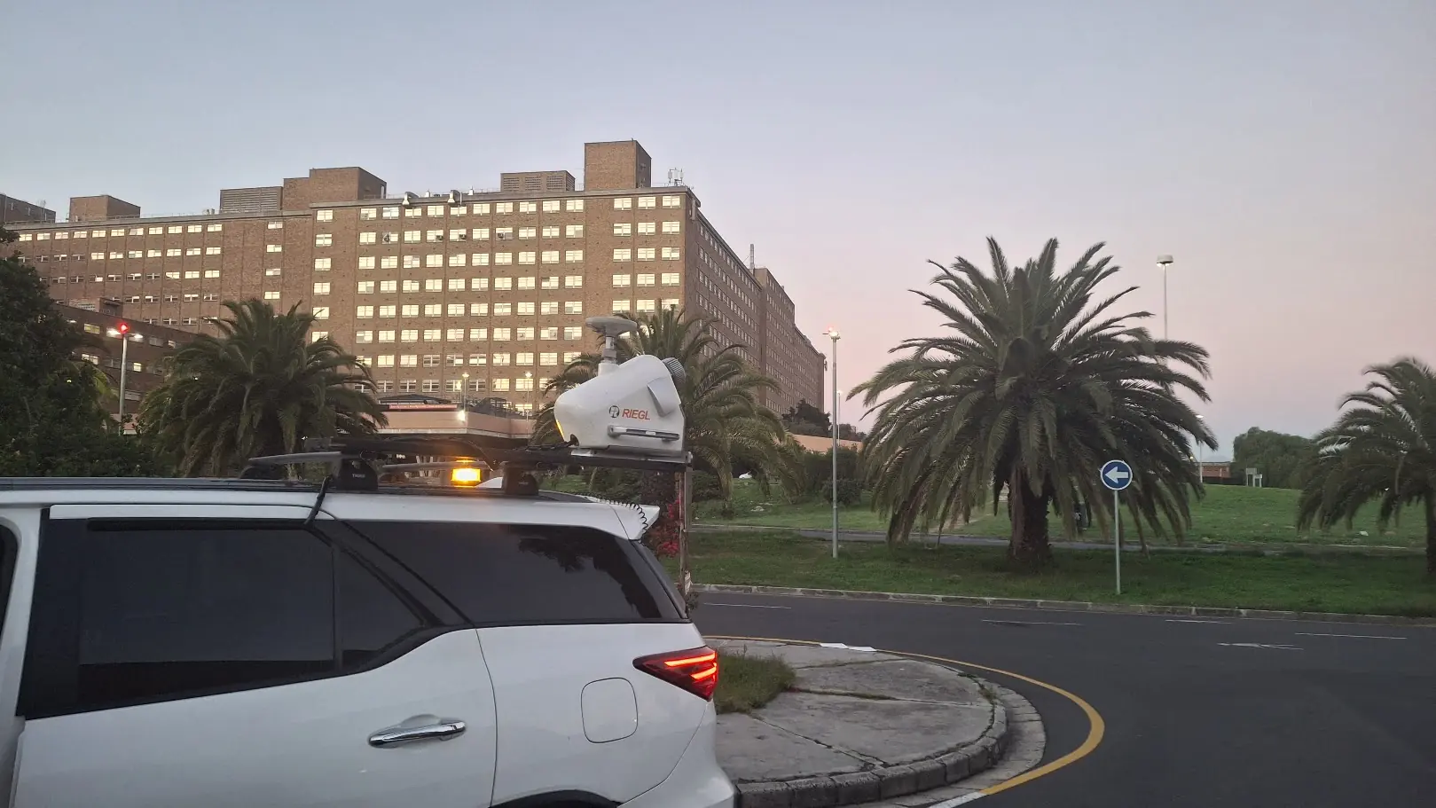
What this service covers
Rapid corridor capture
Efficient acquisition along road, rail and utility networks.
Asset extraction
Road furniture, clearance lines and corridor inventories as structured features.
Operational-ready outputs
Datasets formatted for engineering, maintenance and asset systems.
What you receive, and who it's for
Deliverables
- Corridor point clouds
- Extracted assets and road furniture
- Clearance analysis layers
- Classified terrain products
- TMH11 road survey drawings
- GIS and CAD-ready datasets
Typical clients
- Road and rail authorities
- Port and coastal teams
- Utilities and smart-city programmes
- Infrastructure consultants and asset managers
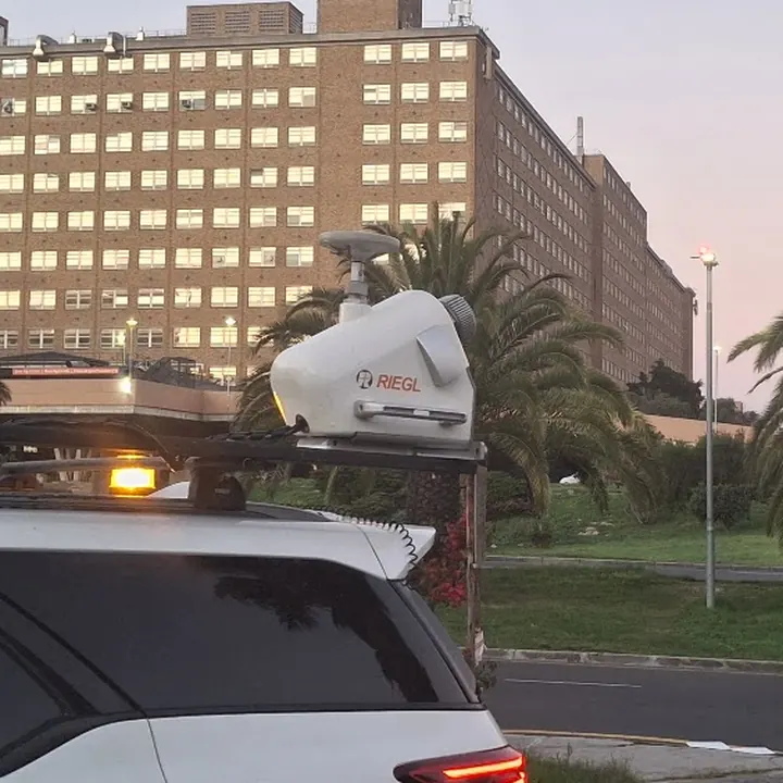
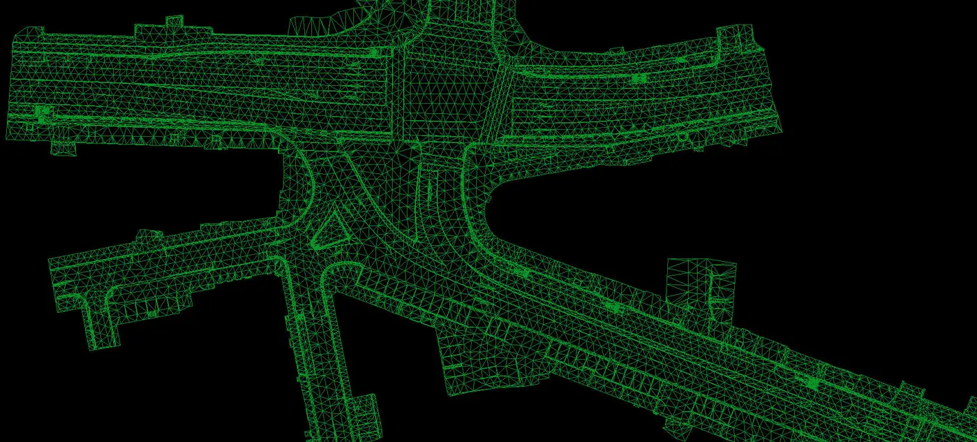
Four products from one drive
The same intersection as a point cloud, terrain model, contours and a CAD drawing.
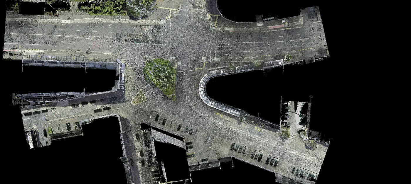
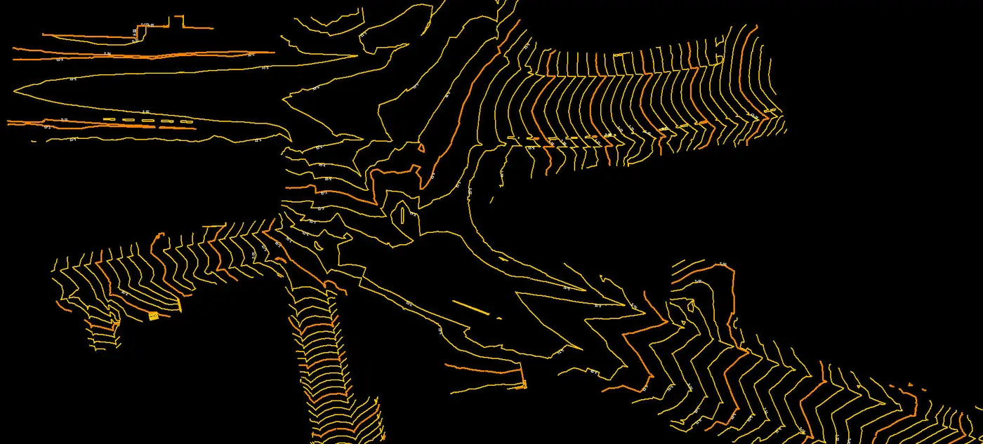
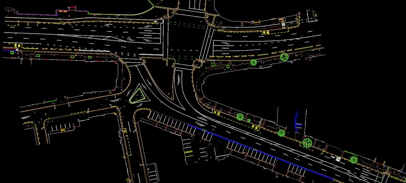
Classified point cloud of a road intersection, captured from the vehicle.
Recent mobile corridor mapping work
- Drone LiDAR
- Mobile mapping
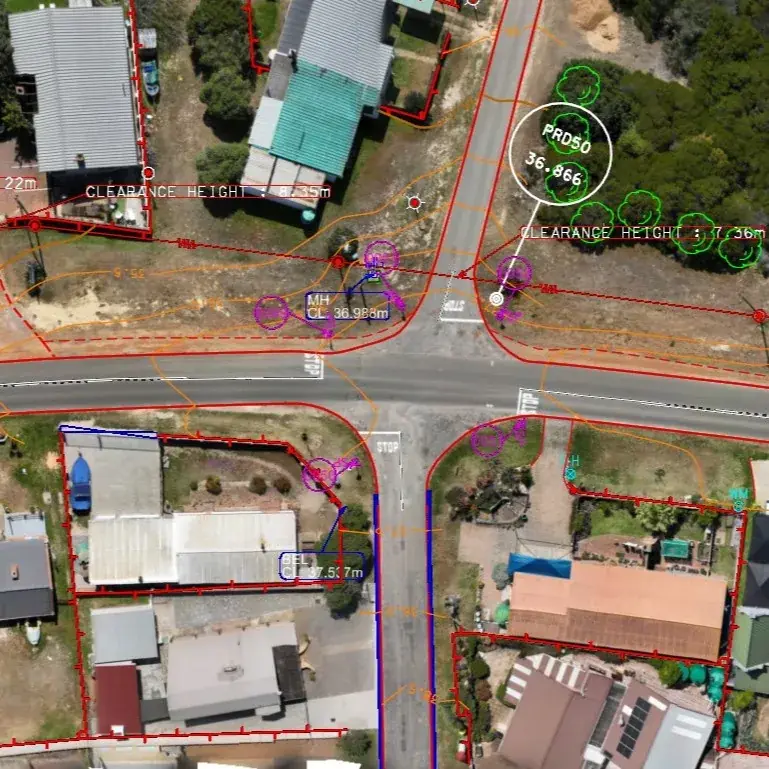
21 km TMH11 road surveyWitsand
- Brief
- A TMH11-specification survey of 21 km of provincial road.
- Method
- Mobile LiDAR on the road surface for detail, with drone LiDAR covering the full road reserve.
- Delivered
- A TMH11 CAD drawing produced from the combined point cloud and orthomosaic.
- Drone LiDAR
- Mobile mapping
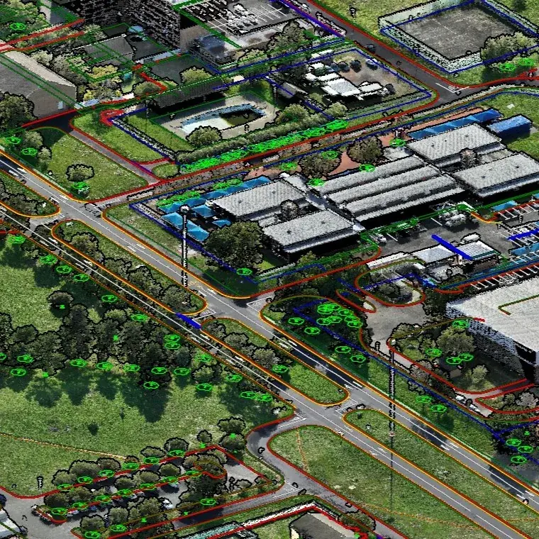
Tygerberg Hospital estateCape Town
- Brief
- A topographic survey of every existing feature and service across a busy, operating hospital estate.
- Method
- Drone LiDAR for high-density coverage of the estate, with mobile scanning along every road for centimetre accuracy.
- Delivered
- Colour point cloud, terrain model, TMH11 drawings and a tree diameter schedule for the whole estate.
Other capture platforms
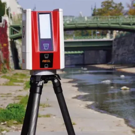
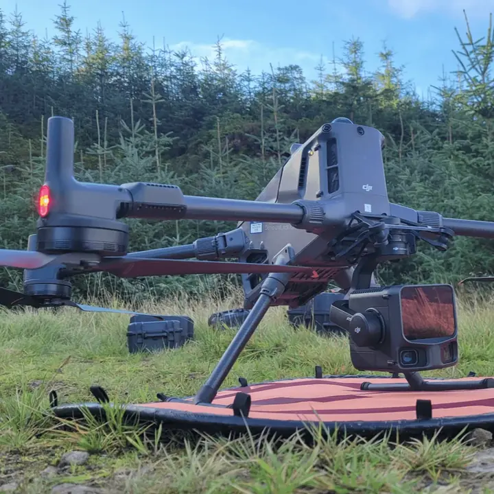
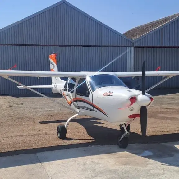
Larger projects often combine platforms. We'll recommend the mix when we scope your site.
Get a quote for mobile corridor mapping
Send a site boundary or a short description. We'll confirm the right platform, the deliverables and a delivery date.
- Phone021 879 9170
- WhatsApp076 309 8372
- Emailadmin@geoswift.co.za
- Office53 Loop Street, Langebaan, 7357
- HoursMonday to Friday, 08:00–17:00
Project brief
All fields except phone and location are required.