
Add LiDAR to your survey practice
We partner with survey firms and drone operators so they can offer LiDAR without investing in costly software, training and the problems that come with switching technology. Your team keeps the client and the fieldwork. We bring the LiDAR capture and processing expertise, and return finished point clouds, terrain models, contours and CAD drawings ready to hand over.
- years of LiDAR and aerial mapping experience
- 10+
- to a first technical review
- 24–72 h
How it works
You keep the client relationship. We work in the background on the parts that need LiDAR expertise.
Scope it together
Your client's deliverables, accuracy, coordinate system and deadline. We help you choose the capture method and price it.
Capture
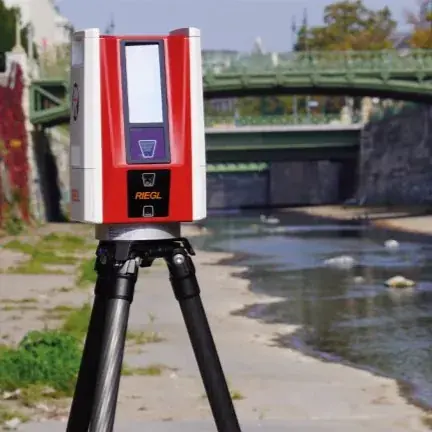
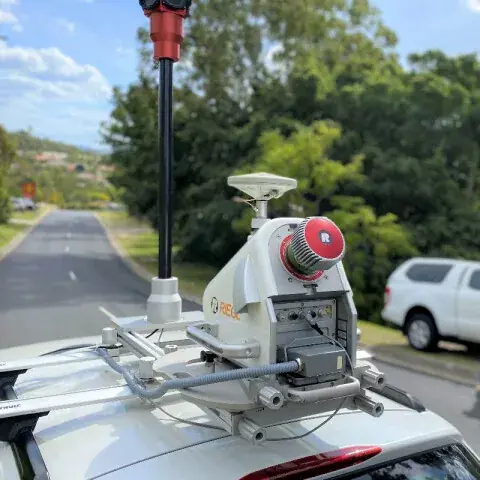
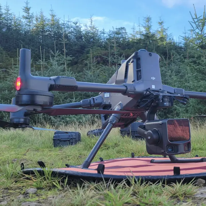
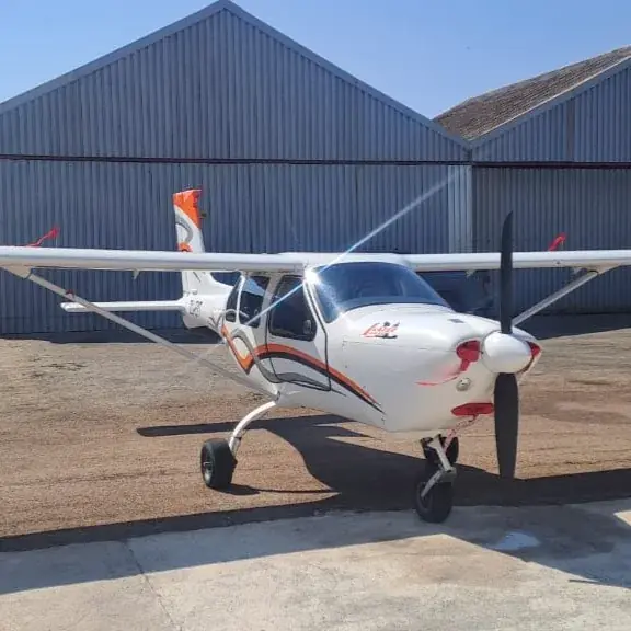
Fly your own drone and send us the raw data, or we arrange capture by drone, aircraft or vehicle while your team sets control.
We process and check
Trajectory processing, strip adjustment, classification, surface modelling and manual QC against your control.
You deliver
Packaged datasets and an accuracy report in your client's formats, ready to hand over.
Why survey firms partner with us
Offer LiDAR now
Quote LiDAR work today, using your existing surveyors and equipment, without first building a LiDAR department.
No costly transition
No specialist software licences, training programmes or trial-and-error on live client projects.
Your client, your name
You keep the relationship. Every dataset is checked against control, with a report you can hand over.
What we can produce
- Classified point clouds
- Digital terrain models (DTM)
- Digital surface models (DSM)
- Contours
- Seamless orthomosaics
- Volume calculations
- Change detection
- 3D models
- Vegetation analysis
- Flood modelling
- Line-of-sight analysis
- CAD drawings, including TMH11
Processed in TerraScan, TerraMatch, POSPac MMS, Agisoft Metashape and Global Mapper. Delivered as LAS/LAZ, GeoTIFF, DWG/DXF, SHP and GIS-ready layers.
If you capture, send us
- Raw LiDAR data from the flight
- Trajectory files and GNSS base station or CORS logs
- Imagery captured on the same flight
- Ground control and check points, if measured
- Your client's spec: coordinate system, accuracy, formats and deadline
Flying your own drone? Tell us your sensor model and we'll confirm the files we need before the flight.
From raw data to finished drawing
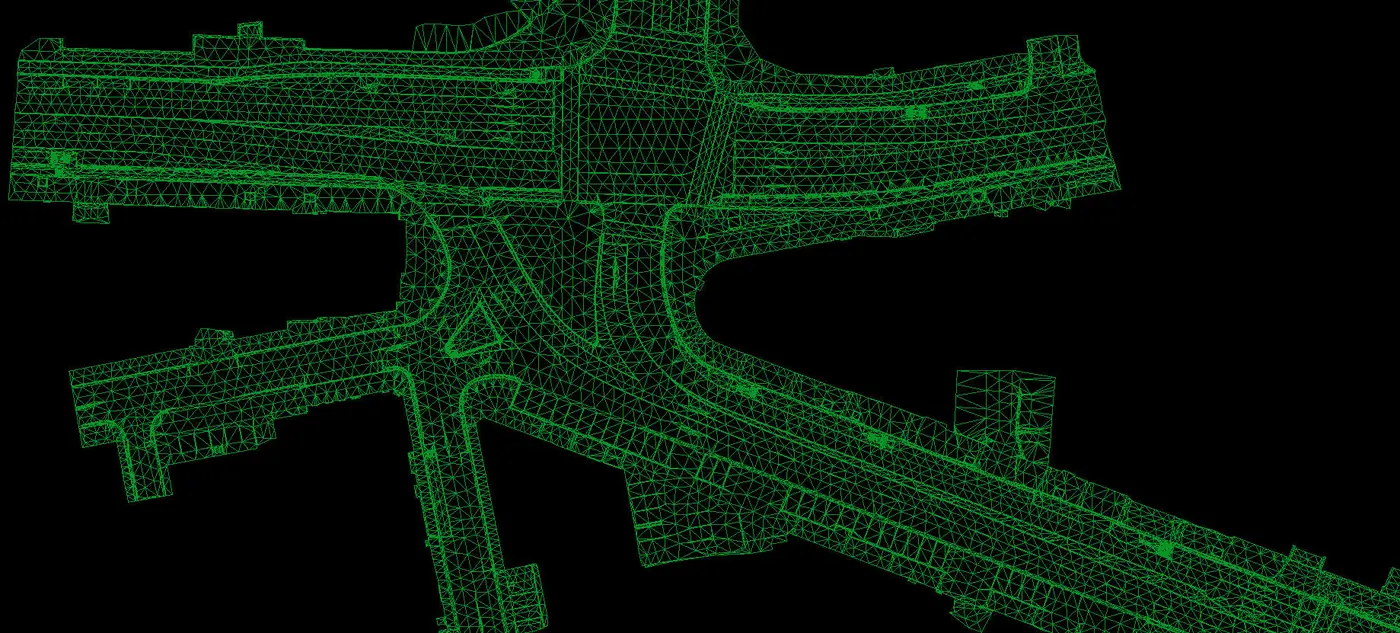
One road survey, processed into four deliverables.
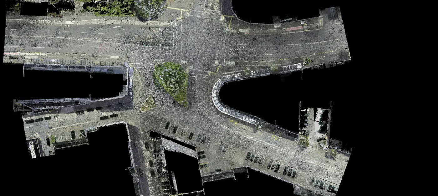
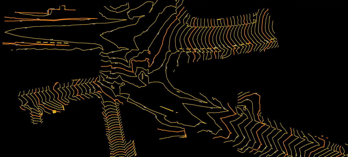
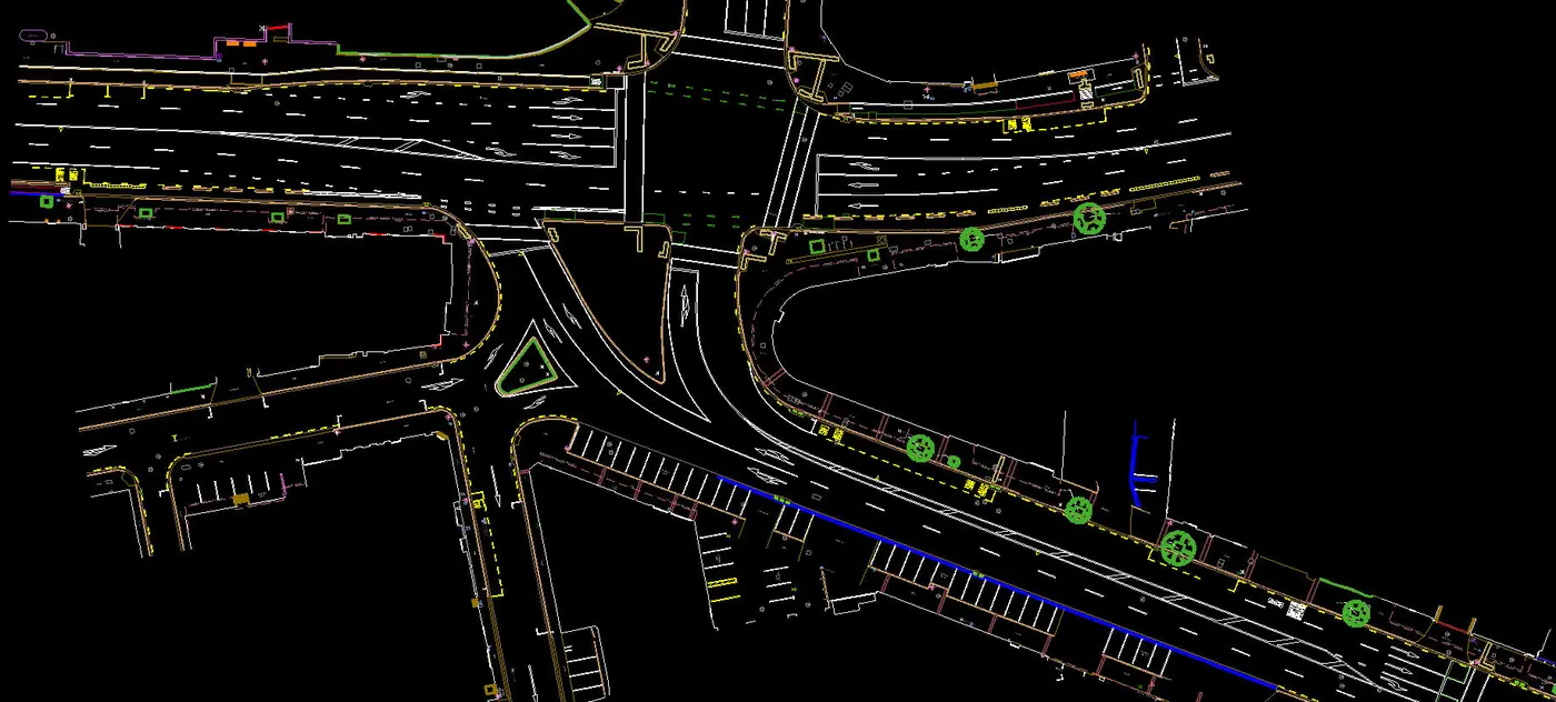
Point cloud of a road intersection, classified into ground, buildings and vegetation.
Prefer to process in-house?
StrataSwift, our Windows desktop application, takes drone and aircraft LiDAR from raw flight strips to classified point clouds, contours and TMH11 CAD drawings, all in one app. It launches on 15 January 2027.
Capture options
When a job needs more than your team can capture, we arrange the platform it needs.
Talk to us about partnering
Tell us about your firm, the project and what your client needs. We'll suggest how to split the work and confirm deliverables, price and turnaround.
- Phone021 879 9170
- WhatsApp076 309 8372
- Emailadmin@geoswift.co.za
- Office53 Loop Street, Langebaan, 7357
- HoursMonday to Friday, 08:00–17:00
Project brief
All fields except phone and location are required.