
Static site scanning
Buildings, plants and structures
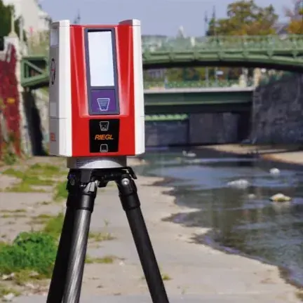
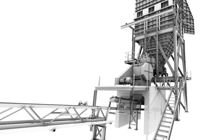
Tripod laser scanning for interiors, plant rooms and assets where every surface needs to be measured.
About static scanningWe capture sites, corridors and regions with drone, aircraft, vehicle and tripod LiDAR, then deliver classified point clouds, terrain models and CAD drawings checked against survey control. Based in Langebaan, working across South Africa.
We pick the platform from the area, the accuracy you need and the site conditions. Larger projects often combine two, such as drone coverage with mobile scanning on the roads.
Buildings, plants and structures
Tripod laser scanning for interiors, plant rooms and assets where every surface needs to be measured.
About static scanning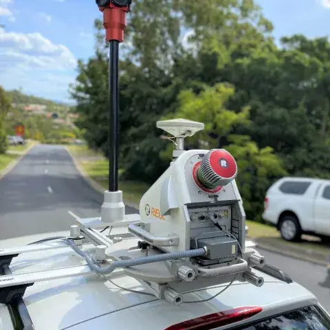
Roads, rail and coastline
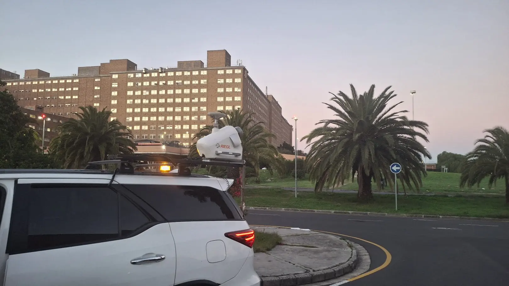
Vehicle- and vessel-mounted scanning for long linear corridors, including TMH11 road surveys.
About mobile mapping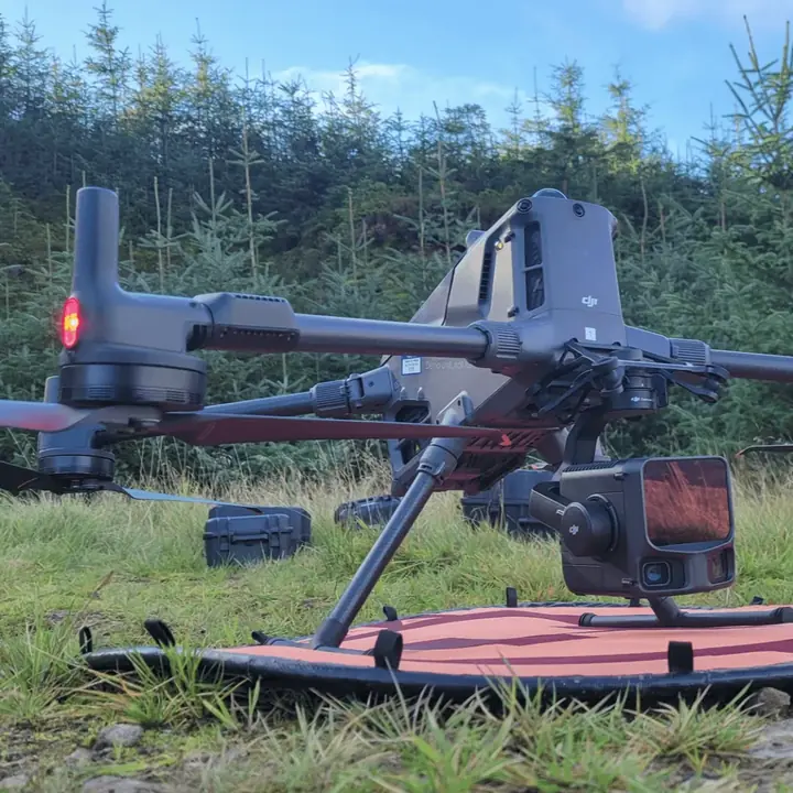
Sites from a few hectares to 3,000+ ha
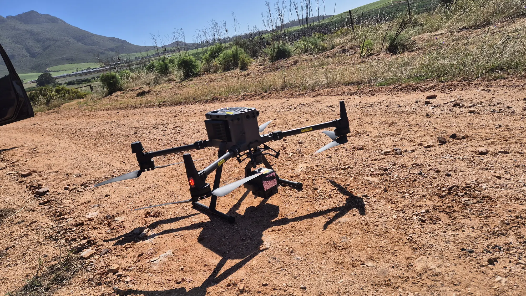
High-density LiDAR and imagery for project sites, difficult terrain and vegetated ground.
About drone LiDAR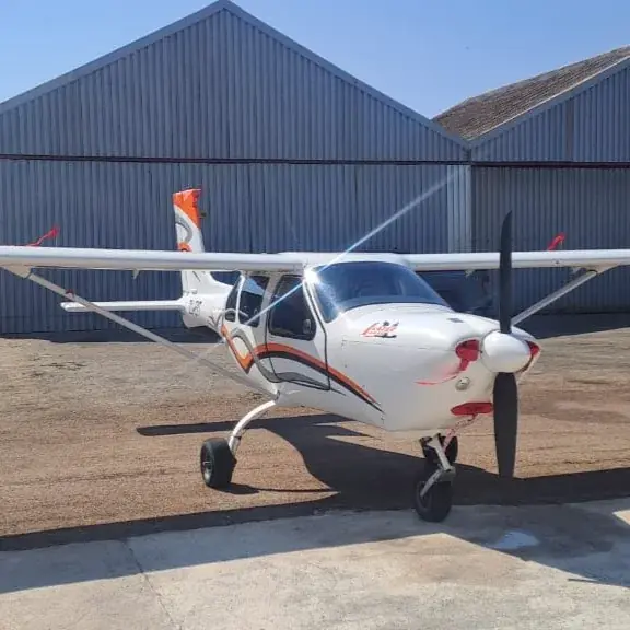
Regions and long corridors
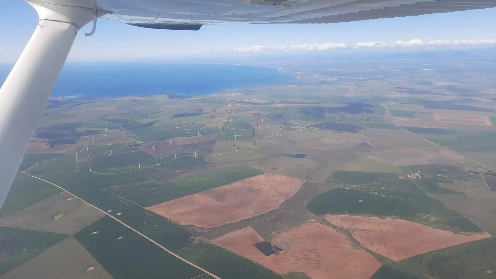
Manned fixed-wing capture for regional programmes, catchments and large renewable-energy sites.
About aircraft LiDARWe partner with survey firms and drone operators who want to offer LiDAR without investing in new software, training and a long learning curve. You keep the client, your team and your equipment. We bring the LiDAR expertise and return finished datasets ready to hand over.
Prefer to do the processing yourself? StrataSwift is a Windows desktop application from GeoSwift. It takes aerial LiDAR and photogrammetry from raw flight strips to classified point clouds, contours, orthomosaics and TMH11 CAD drawings, all in one app. Your point clouds stay on your own PC.
Launching 15 January 2027.
StrataSwift
From point cloud to delivery, in one app.
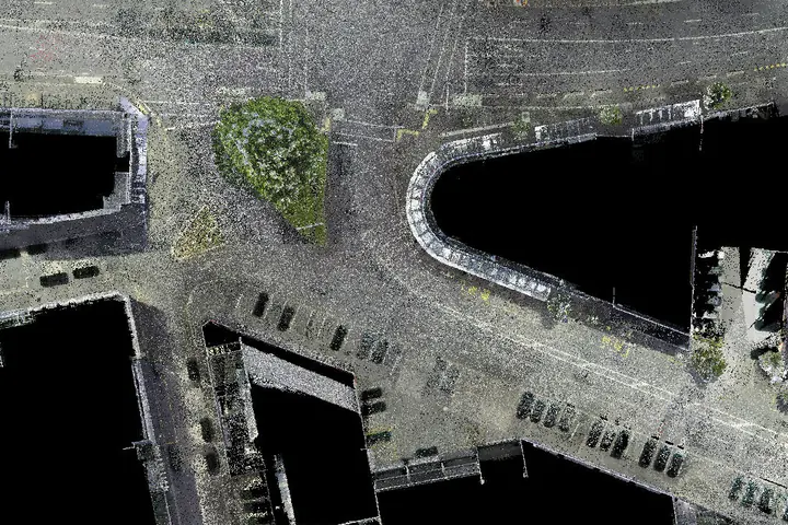
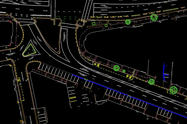
A single survey becomes several datasets. Here is the same road intersection as a point cloud, a terrain model, contours and a finished CAD drawing.
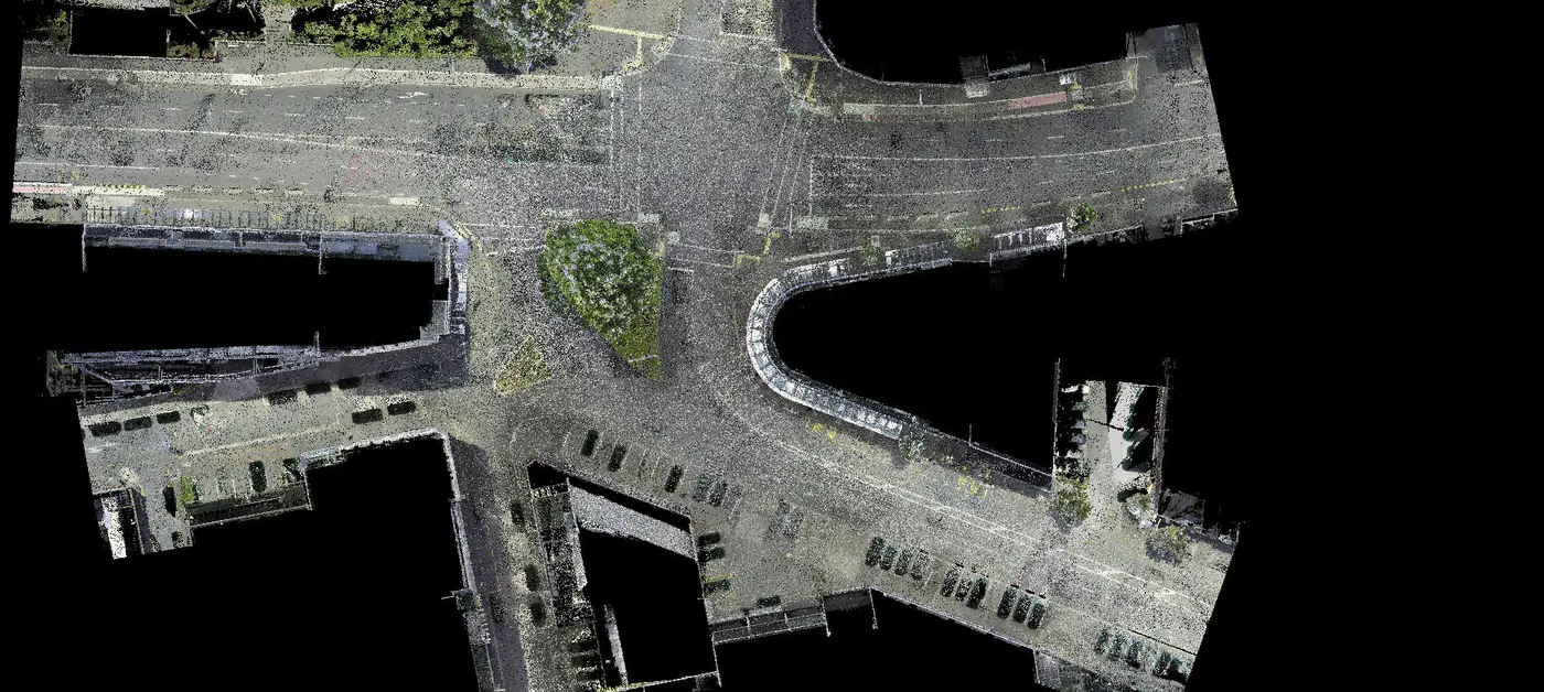
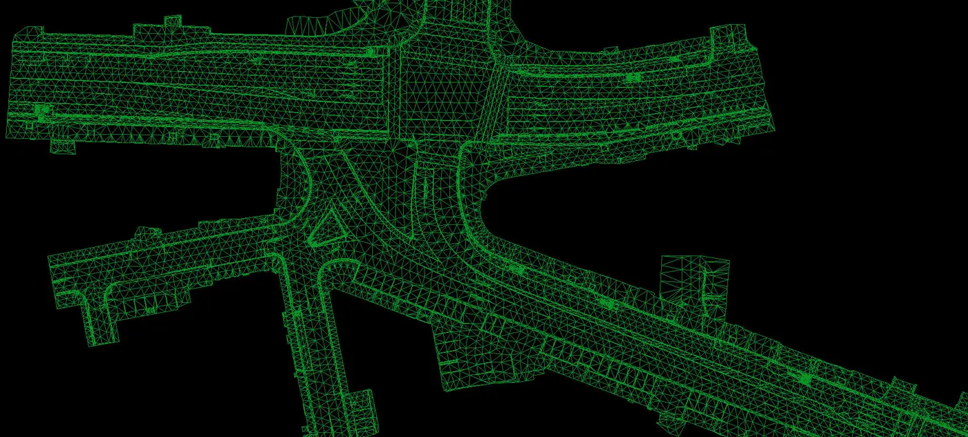
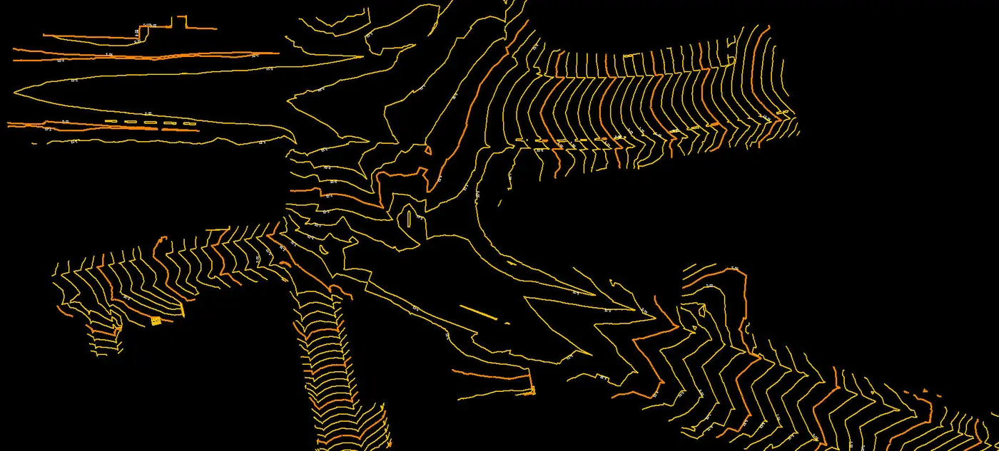
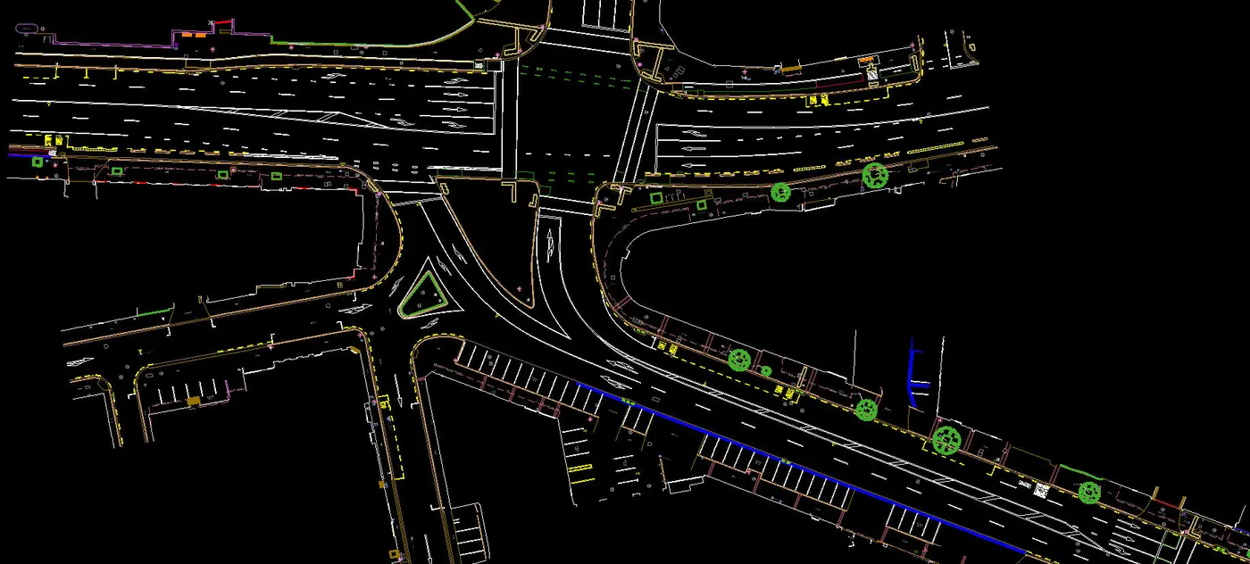
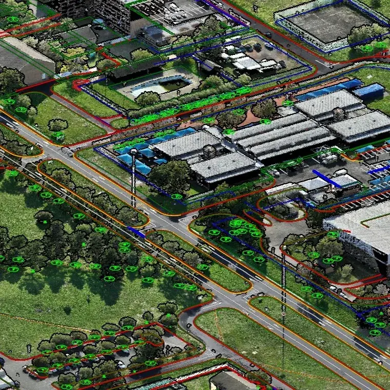
Classified point cloud: every LiDAR return, coloured and classified into ground, buildings, vegetation and more.
Delivered in your project's coordinate system, including local datums and national grids. Formats: LAS/LAZ, GeoTIFF, DWG/DXF, SHP and GIS-ready layers.
What the client needed, how we captured it, and what they received.
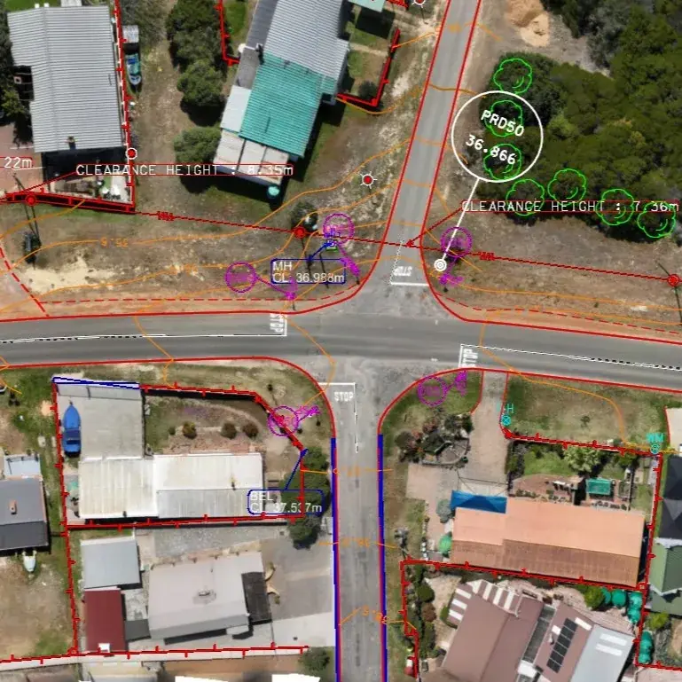
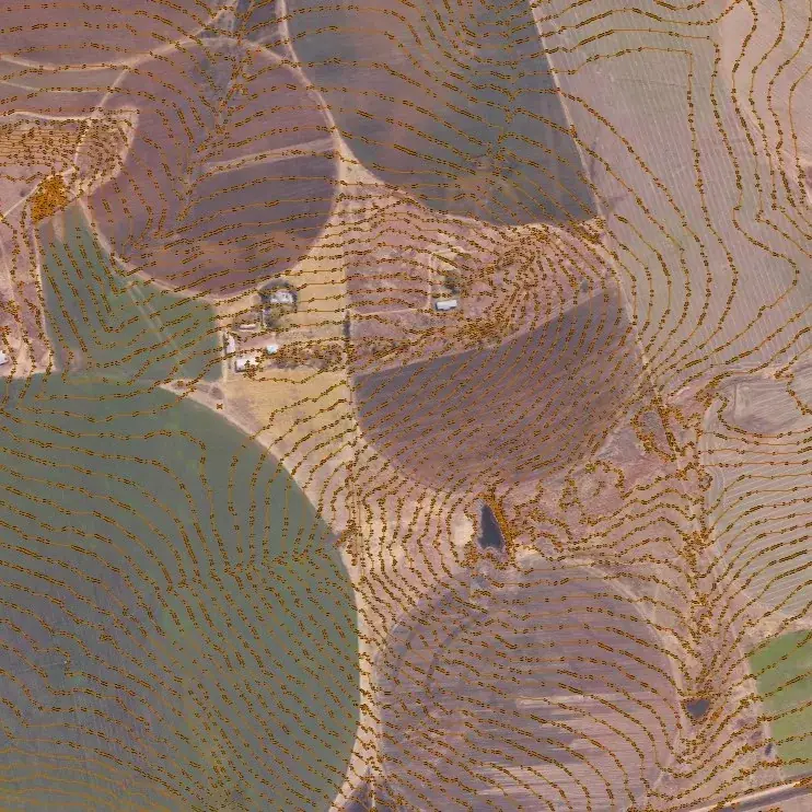
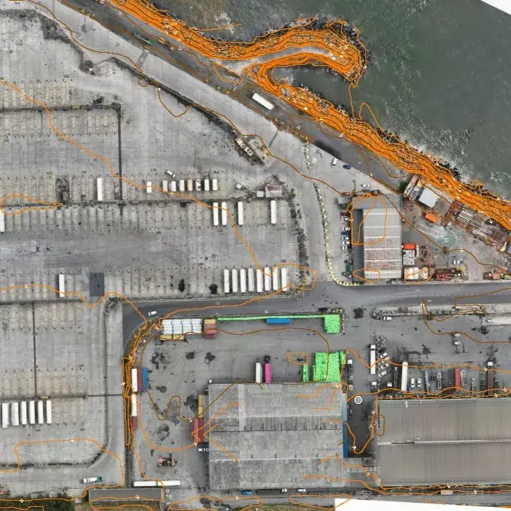
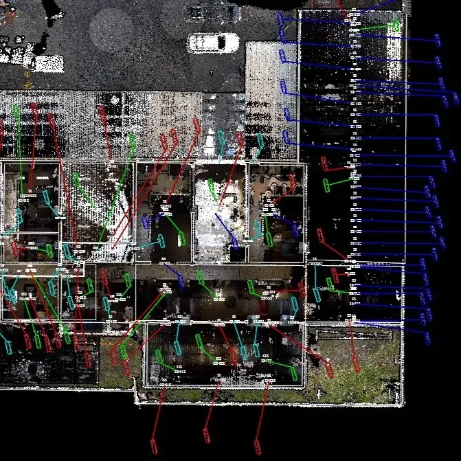
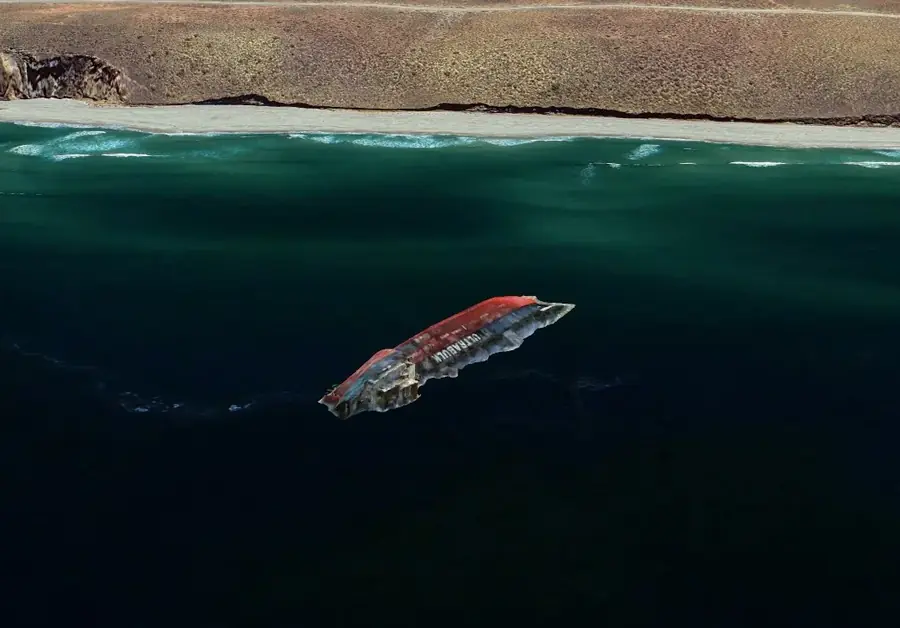
Where our work comes from, by sector and region. Most of it is repeat work for clients who come back.
References from recent clients are available on request.
The same four stages on every job, from a single building to a regional programme.
We agree objectives, accuracy targets, formats and timeline, then handle access approvals, safety files and flight permissions.
The right platform goes to site, tied to GNSS survey control and checked on the ground before we leave.
Trajectory refinement, strip adjustment, classification and manual QC of every terrain surface.
Packaged datasets, drawings and a survey report, with support while your team puts them to work.
Civil and structural engineers who need defensible inputs for design.
Road, rail, water and utility teams managing large networks.
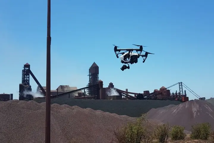
Pits, stockpiles, tailings and renewable-energy sites.
Stormwater, planning and asset teams in local and provincial government.
GeoSwift Consulting is a specialised LiDAR and geospatial company based in Langebaan on the West Coast. We plan and manage LiDAR capture by drone, aircraft, vehicle and tripod, and process every dataset in-house.
Send a site boundary or a short description and we will recommend a platform, the deliverables and a delivery date.
All fields except phone and location are required.
We deliver geospatial and survey services across South Africa, with project planning tailored to site access, terrain, and operating requirements.
Typical deliverables include classified point clouds, DTM/DSM terrain models, orthomosaics, contours, and GIS/CAD-ready datasets aligned to your specification.
We select the most suitable platform based on area size, required accuracy, and site conditions. Options include drone, manned aircraft, mobile corridor mapping, and static site scanning.
Our workflow includes calibration checks, trajectory refinement, strip adjustment, classification, and QA verification against project control to ensure reliable outputs.
Accuracy depends on platform, flight height, speed, GNSS/IMU quality, ground control, and surface conditions. We confirm achievable accuracy during scoping and validate against control during QA.
Point density is driven by the smallest features you need to model and the required surface confidence. We recommend densities based on your design tolerances and intended outputs.
LiDAR can penetrate gaps in vegetation, allowing ground points to be classified, but dense canopy reduces ground visibility. We plan flight parameters to improve ground returns where possible.
LiDAR measures distance directly and performs well in low-texture areas and vegetation. Photogrammetry relies on image matching and works best on textured surfaces. We often combine both for best results.
We deliver in the coordinate reference system required by your project, including local survey datums and national grids. We confirm the CRS during scoping to avoid any rework.
Common formats include LAS/LAZ point clouds, GeoTIFF orthomosaics, DTM/DSM grids, CAD drawings, and GIS-ready layers. We align outputs to your specification.
Turnaround depends on area size, density, and required deliverables. We provide a schedule during scoping and can phase deliveries for large projects.